Heian-kyō (794–1869) was the imperial capital that gave Kyoto its form and Japan its classical “golden age.” This guide distills the city’s origins, Tang-inspired grid, and lived culture—then points you to what you can still visit now, from the Imperial Palace site to Heian Shrine.


What Was Heian-kyō?
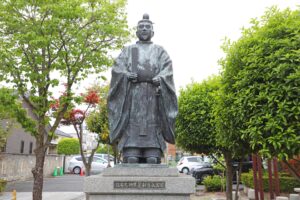
Heian-kyō was the planned imperial capital founded in 794 by Emperor Kanmu on the site of present-day Kyoto. Laid out as a rational, north-facing grid modeled on the Chinese capital of Chang’an, it became the political seat of the emperor and the cultural heartland of classical Japan. In English, “Heian-kyō” refers to the city itself; by contrast, the Heian period names the broader era (traditionally 794–1185) during which courtly aristocratic culture flourished even as political power slowly shifted to warrior elites. The city’s name literally means “Capital of Peace and Tranquility,” and its form—avenues, wards, and a palace compound at the northern terminus—shaped Kyoto’s urban DNA for over a millennium. Although the imperial court’s effective power waxed and waned, Heian-kyō remained Japan’s symbolic center until the court relocated to Tokyo in 1869. That thousand-year tenure is why so many of Kyoto’s streets, rituals, and place-names still echo the old capital.
Fast facts (at a glance):
• Dates (city): 794–1869
• Founder: Emperor Kanmu
• Meaning: “Capital of Peace and Tranquility”
• Location: Kyoto Basin, Japan (present-day Kyoto)
• Role: Imperial capital and cultural center; namesake of the Heian period

Why the Capital Moved to Heian-kyō in 794
The move to Heian-kyō capped a decade of political recalibration. In Nara (Heijō-kyō), powerful Buddhist temples had grown deeply enmeshed with court politics, complicating governance and ritual authority. Emperor Kanmu sought a fresh start—geographically, spiritually, and administratively—by relocating first to Nagaoka-kyō (784) and then, after troubles there, to Heian-kyō (794). The new site, framed by protective hills and river plains, promised better control over the court’s ceremonial life and day-to-day administration while distancing the throne from entrenched temple influence.
Nagaoka’s short life is often explained through a mix of natural and human problems: factional conflicts at court, possible flooding and disease in the lowlands, and ominous portents that eroded legitimacy. Heian-kyō answered with more auspicious geomancy, a cleaner slate of institutions, and a capital plan that could project order through its grid, axes, and sightlines. In short, the relocation was as much about political hygiene as it was about landscape and logistics. The resulting move in 794 paired a compelling site with a city form designed to embody and perform imperial authority.
The City Plan: A Tang-Style Grid Without Walls
Heian-kyō was designed on a strict orthogonal grid patterned after Tang China’s Chang’an, but with one crucial difference: it had no surrounding city walls. The plan placed the Daidairi (the imperial palace and administrative precinct) at the northern edge of the city, facing south down the grand Suzaku Avenue, the axial boulevard that split the capital into Left (Sakyō) and Right (Ukyō) halves. Broad east–west and north–south streets subdivided the area into orderly wards and blocks (the jōbō system), enabling addressable parcels, controlled traffic, and ceremonial procession routes. The axial perspective—from the palace southward toward Rajōmon—made the city itself a stage on which state ritual could unfold.
Approximate scale and anchors (text-only highlights):
- North–South extent: ~5–5.5 km across the planned city.
- East–West extent: ~4–4.5 km across the planned city.
- Principal axis: Suzaku Avenue (north–south, centrally placed).
- Palace placement: Daidairi at the northern terminus, oriented south.
- Gate: Rajōmon marked the monumental southern entry.
- Left/Right Capitals: Sakyō (east) and Ukyō (west) denoted the city’s two halves.
- No city walls: Unlike Chang’an, Heian-kyō remained unwalled, reflecting local security assumptions and topographic buffers.
Key Places in the Plan
- Daidairi (Imperial Palace/Compound): The northern governmental and ceremonial core housing audience halls (e.g., the Chōdō-in) and the emperor’s residential precincts (the Dairi). Think of it as both the political engine room and the stage for state ritual.
- Suzaku Avenue (Suzaku Ōji): The grand central boulevard running north–south. Processional, symbolic, and functional, it organized traffic and meaning, aligning the palace with the rest of the city.
- Sakyō / Ukyō (Left/Right Capitals): Administrative names for the city’s eastern (Sakyō) and western (Ukyō) halves.
- Rajōmon (Southern Gate): The monumental southern entrance to the capital’s grid, signalling transition from countryside to ordered urban space and the start of the imperial axis.
Heian-kyō’s Culture and Power: From Courtly Aesthetics to Shoguns
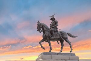
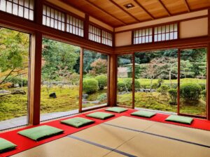
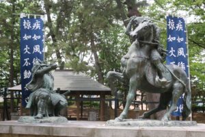
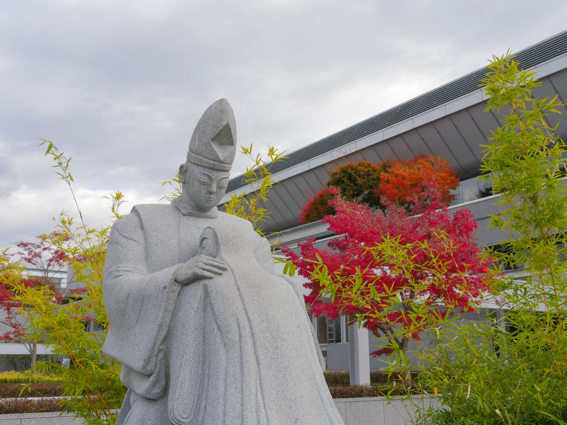
Life in Heian-kyō cultivated an exquisite court culture—poetry salons, kana literature, music, and refined aesthetics—whose masterpieces include The Tale of Genji and The Pillow Book. Aristocrats perfected arts of dress, architecture (with airy, axial palaces and shinden-style residences), and seasonal ceremony. Yet beneath the polish, political power was fluid. The Fujiwara clan rose through regency and marriage politics, steering the court, while provincial military families accumulated real clout in the countryside. After the Genpei War, victory by Minamoto no Yoritomo led to a shogunate government (from 1185), inaugurating a dual structure in which Kyoto remained the cultural and imperial seat even as military rule took root elsewhere.
A simple timeline to orient you: 794 (capital founded in Heian-kyō) → 1185 (rise of warrior rule) → 1869 (imperial court relocates to Tokyo). Through all this, Heian-kyō persisted as a ritual and cultural capital, its grid plan anchoring centuries of festivals, scholarship, and artistic invention. That continuity is why “Kyoto” still evokes classical Japan and why its streetscape continues to echo the ideals of the city that shaped it.
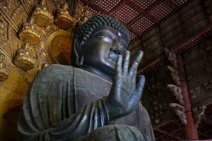
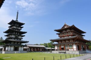
Religion and the City: Buddhism, Shinto, and Court Ritual
The Heian relocation deliberately rebalanced relations with powerful Buddhist institutions by placing the throne at a measured distance from earlier Nara temples. In the new capital, the court curated ritual life: seasonal ceremonies, imperial audiences, and state rites aligned with the city’s axial geometry. Over time, religious practice in Kyoto became richly syncretic—Buddhist schools such as Tendai and Shingon flourished nearby, while Shinto shrines and court rituals intertwined with Buddhist liturgy in daily and statecraft contexts. Processions traversed planned avenues; auspicious orientations and geomancy (e.g., protective mountains and rivers) informed site selection and ritual choreography. The city’s design thus wasn’t just practical—it was a stage set for belief, where politics, cosmology, and urban form met and mutually reinforced each other.
Where to See Heian-kyō Today in Kyoto
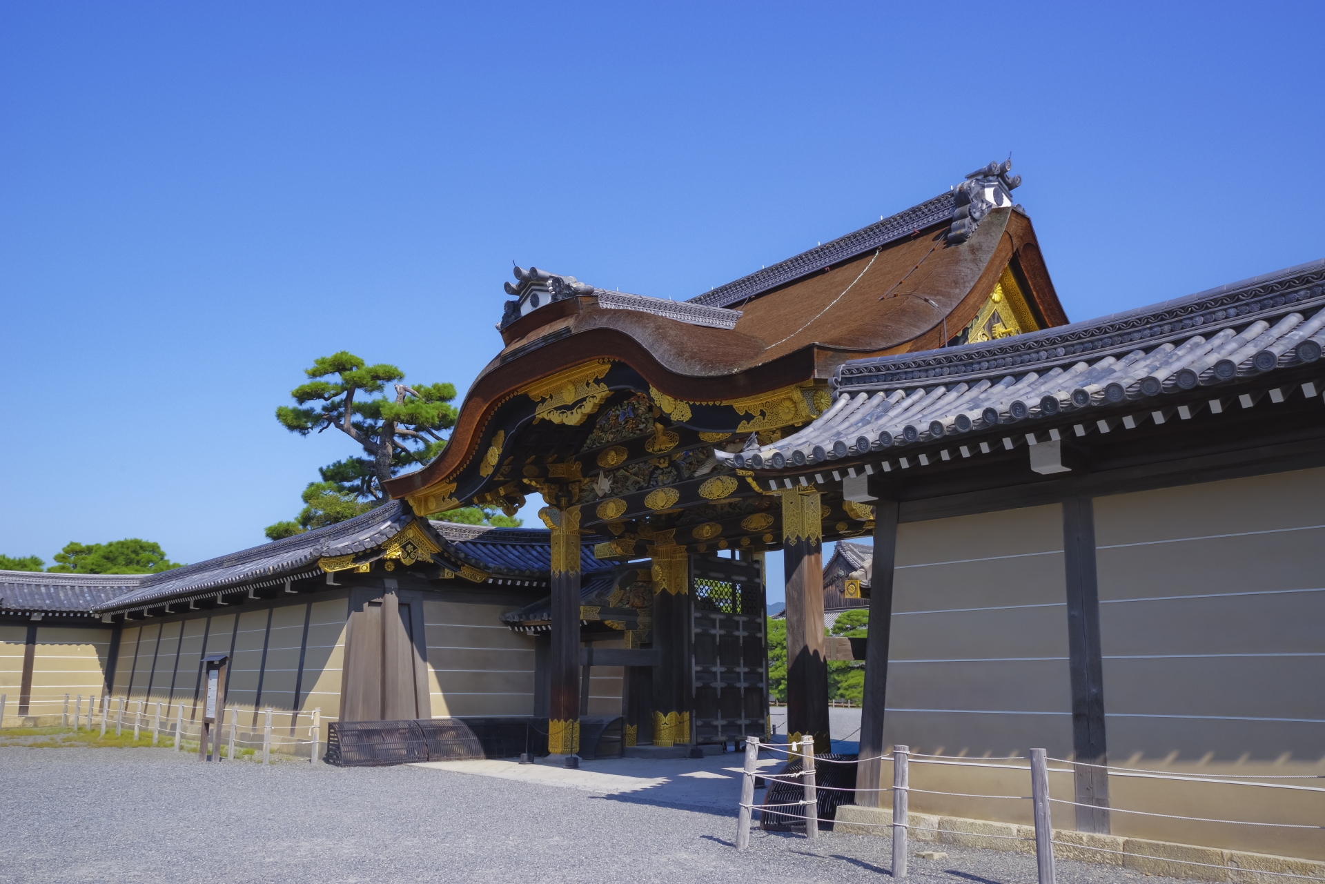
Kyoto Imperial Palace (Kyoto Gosho) — Dairi equivalent:
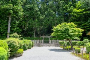
This large complex in Kyoto Gyoen National Garden occupies the historical zone of the imperial residence, offering reconstructed palace architecture that evokes the Heian court’s ceremonial world. Highlights include elegant audience halls, gardens, and gates that hint at axial planning. Visiting tip: Check the Imperial Household Agency’s official information for current access procedures; the surrounding park is spacious and ideal for an unhurried circuit.
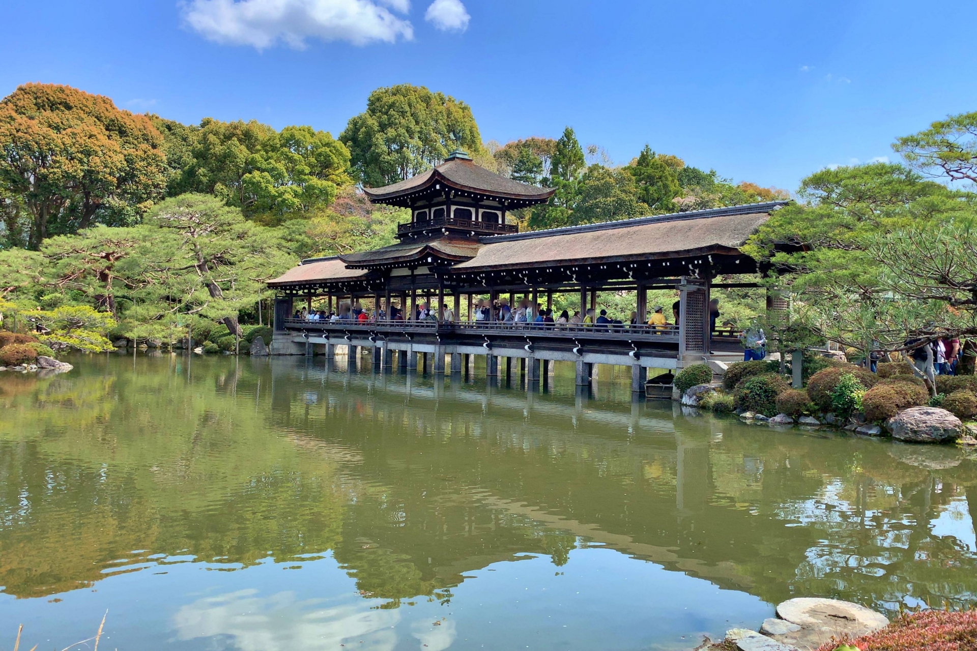
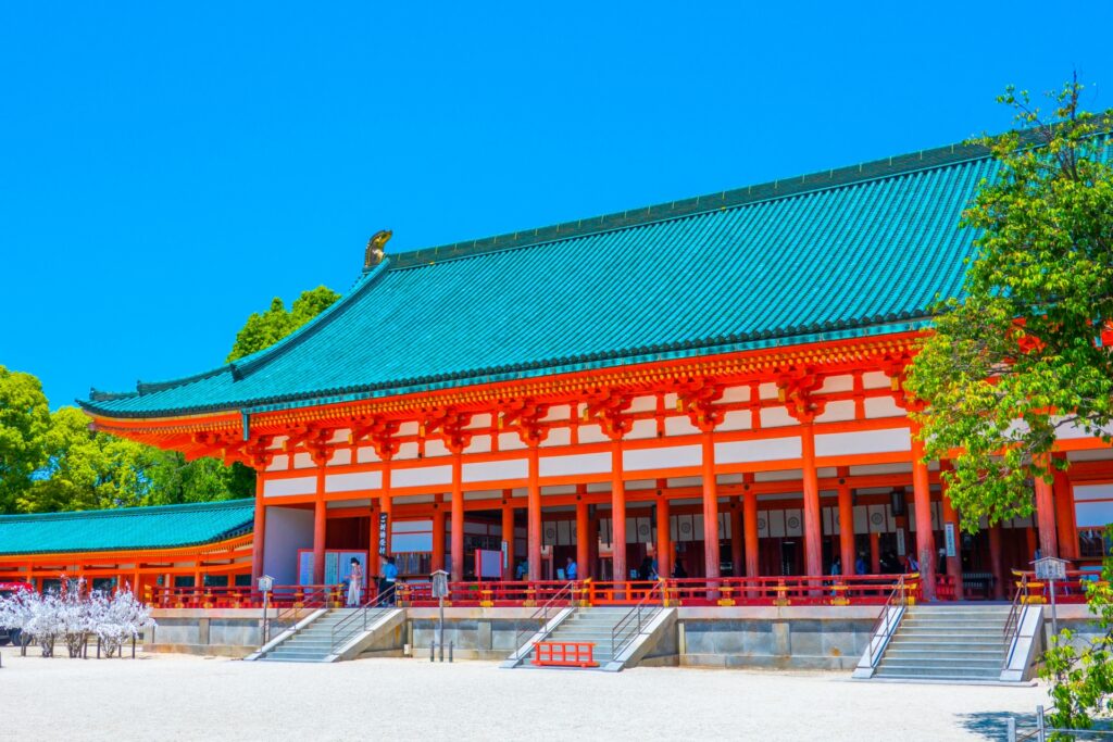
Heian Shrine (Heian Jingū) — symbolic reconstruction:
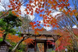
Built in 1895 to commemorate Kyoto’s 1100th anniversary, Heian Shrine is a scaled homage to the Heian palace, with a sweeping courtyard and vermilion structures that conjure classical grandeur. Highlights include the vast torii gate, seasonal festivals, and landscaped gardens. Visiting tip: Combine with a stroll along the nearby canal paths; late afternoon light makes the shrine’s colors especially vivid.
Heiankyō Sousei-kan (Museum of Heiankyō) — scale model & exhibits:
This interpretive center presents detailed scale models and accessible explanations of the ancient grid, wards, and palace area. It’s the most efficient way to picture how the planned city overlays modern Kyoto. Visiting tip: Go early in your stay; the mental map you build here will enrich everything else you see.
Ancient Grid, Modern Streets—In Words
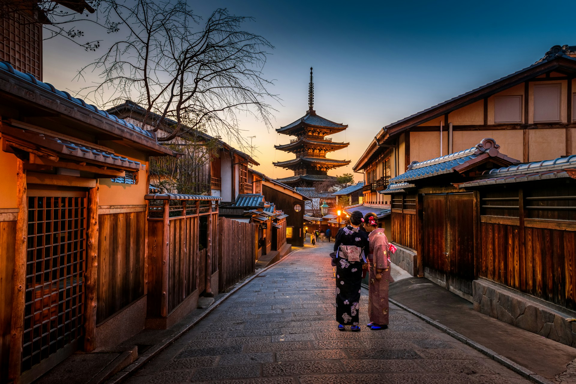
Even without a map, you can feel the old grid while walking central Kyoto. Many major streets still run ruler-straight for long stretches, carving the city into rectangular blocks that echo Heian-era jōbō logic. Thoroughfares such as Karasuma-dori, Horikawa-dori, Kawaramachi-dori, and Senbon-dori help you sense north–south orientation, while numbered east–west streets in some districts create a mnemonic cadence reminiscent of historical warding. The Kamo River still frames Kyoto’s eastern side, much as it did for Heian-kyō’s planners who read rivers and hills as geomantic guardians. Walking tips: sidewalks are generally safe and well-marked, but stay alert at broad intersections where cyclists and taxis converge; yield where signed and keep right on narrow lanes. Best times: early morning offers the clearest axial views down long streets; evenings are pleasant for feeling the grid loosen into neighborhoods of shops and eateries.
Heian-kyō vs. Heijō-kyō: What’s the Difference?
| Lens | Heijō-kyō (Nara) | Heian-kyō (Kyoto) |
| Dates & Location | 710–784; in today’s Nara | 794–1869; in today’s Kyoto |
| Reasons for Relocation (overview) | Close entanglement of temples and politics in Nara spurred the search for a fresh capital site | To rebalance throne–temple relations and secure a more auspicious, workable site; moved via Nagaoka-kyō (784–794) before settling in 794 |
| Urban Planning | Tang-style grid, adapted to the Nara basin; palace siting and block pattern reflect local topography | Clear central axis (Suzaku Avenue) and palace at the north; modeled on Chang’an; notably no city walls; Kyoto Basin (Kamo/Katsura Rivers) shaped drainage, processional routes, and vistas |
| Historical Outcome | Comparatively short-lived; a bridge to later capitals | Endured for over a millennium, imprinting a lasting street logic on modern Kyoto |
| Cultural Emphasis | Formation of the ritsuryō state | Mature court culture and classical literature (e.g., The Tale of Genji), alongside the post-1185 rise of warrior rule |
Frequently Asked Questions
What is Heian-kyō and where was it located?
Heian-kyō was Japan’s planned imperial capital from 794 to 1869, founded by Emperor Kanmu in the Kyoto Basin. Its grid and palace-at-the-north design set the template for the city we now call Kyoto.
Why did Emperor Kanmu move the capital to Heian-kyō?
To reset court governance away from powerful temple networks in Nara, and to adopt a site with better geomantic qualities and administrative possibilities. A brief, troubled stop at Nagaoka-kyō (784–794) preceded the final move in 794.
How was Heian-kyō planned, and what was it modeled after?
It followed a Chang’an-style grid: a north-palace facing south down a central axis (Suzaku Avenue), with east–west and north–south streets forming wards. Notably, Heian-kyō had no city walls, unlike many Chinese models.
What’s the difference between Heian-kyō and the Heian period?
“Heian-kyō” is the city (794–1869); the “Heian period” is the era (794–1185) known for aristocratic court culture and the early rise of warrior power.
What remains to see in Kyoto today?
Visit Kyoto Imperial Palace (historic palace zone), Heian Shrine (a symbolic late-19th-century reconstruction of the palace style), and Heiankyō Sousei-kan (a museum with models and explanations that tie the ancient grid to modern streets).
Appendix: Fast Facts
- Founding year: 794
- Founder: Emperor Kanmu
- Model: Tang Chang’an (grid, axial planning)
- Principal avenue: Suzaku Avenue (central north–south axis)
- Approximate city size: ~4–4.5 km (E–W) × ~5–5.5 km (N–S) in the planned core
- Walls: None (Heian-kyō was an unwalled capital)
- Capital era ends: 1869, when the imperial court relocated to Tokyo
Conclusion
For more than a thousand years (794–1869), Heian-kyō anchored imperial life and shaped what we now recognize as Kyoto. Its Chang’an-inspired grid—with the palace at the north and Suzaku Avenue as a ceremonial spine—translated cosmology into city planning. The move from Nara reflected political–religious recalibration as much as site selection; the Heian period’s courtly brilliance later coexisted with the rise of warrior governments after 1185. Today you can still trace that legacy on foot—at Kyoto Imperial Palace, Heian Shrine, and in the very cadence of the streets. If you’re studying or visiting, start with those sites (and the Heiankyō Sousei-kan) to anchor your mental map—then delve into the Heijō-kyō vs. Heian-kyō comparison above to see how one city defined an age.